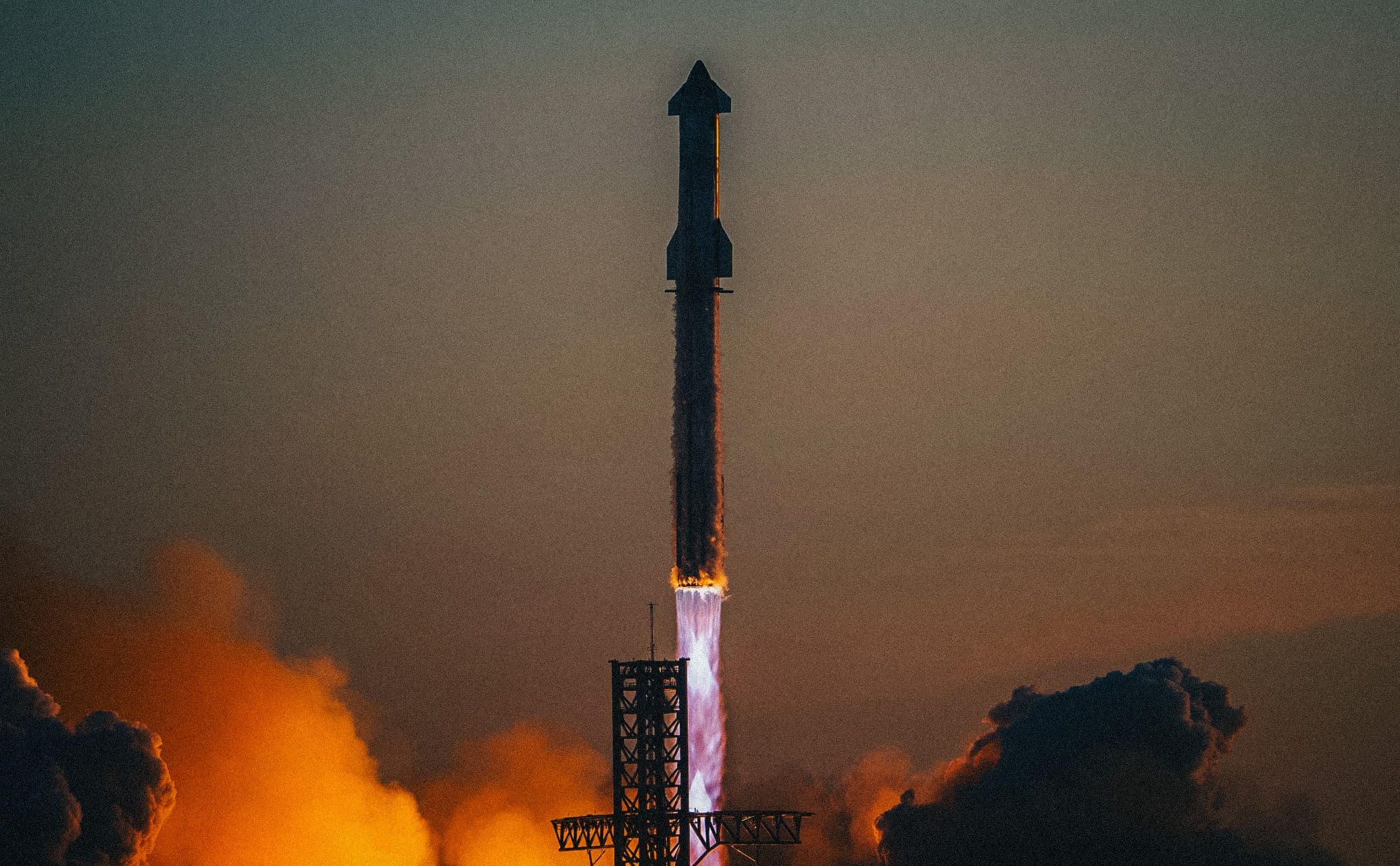
The Case for Turning Starbase Into a Special Economic ZoneJun 2
a newly incorporated city on texas' southern tip could become america's portal to space — but we'll never get there under current regulations
8 Likes
1 Comment
The United States of America is the richest country on Earth.
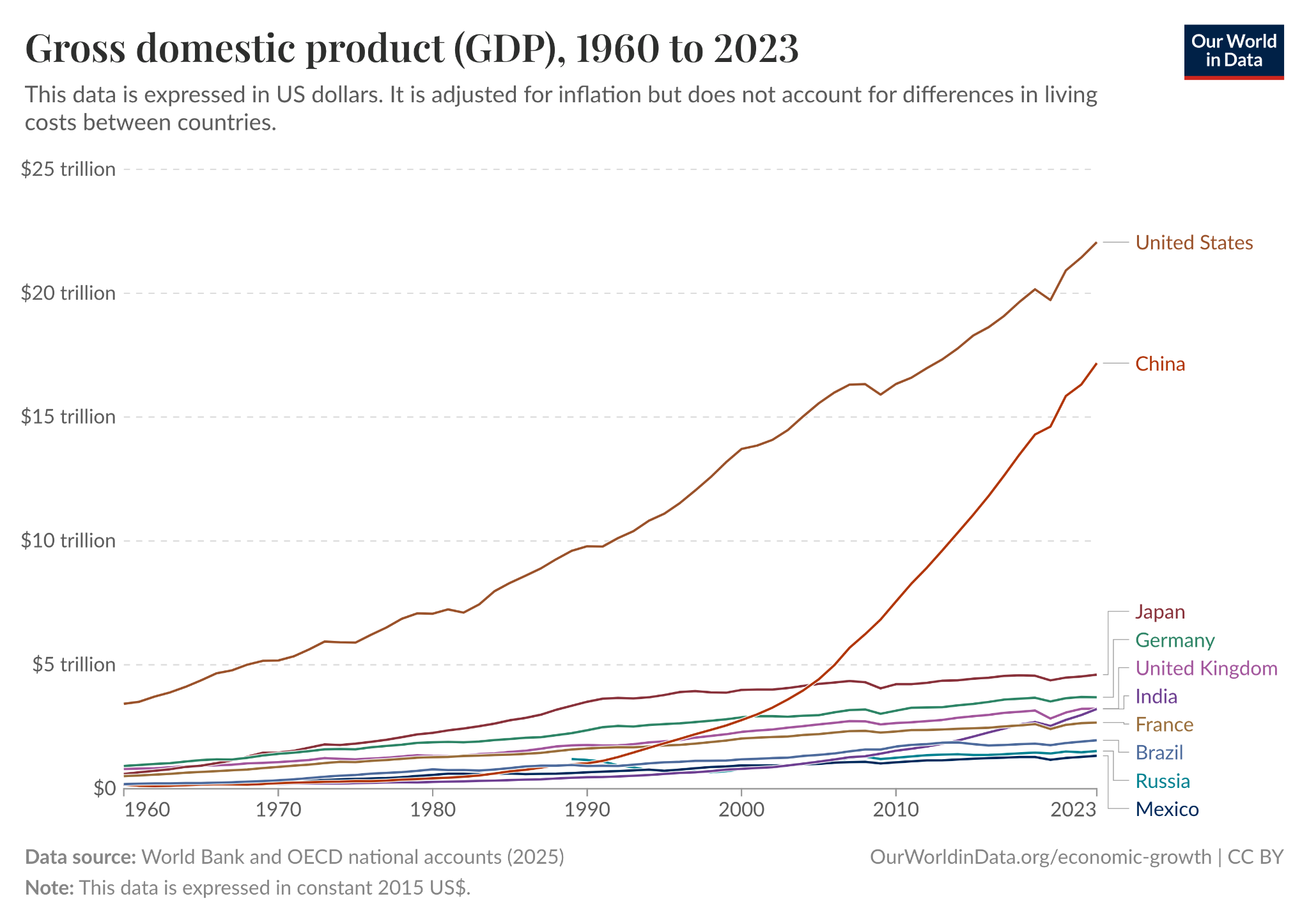
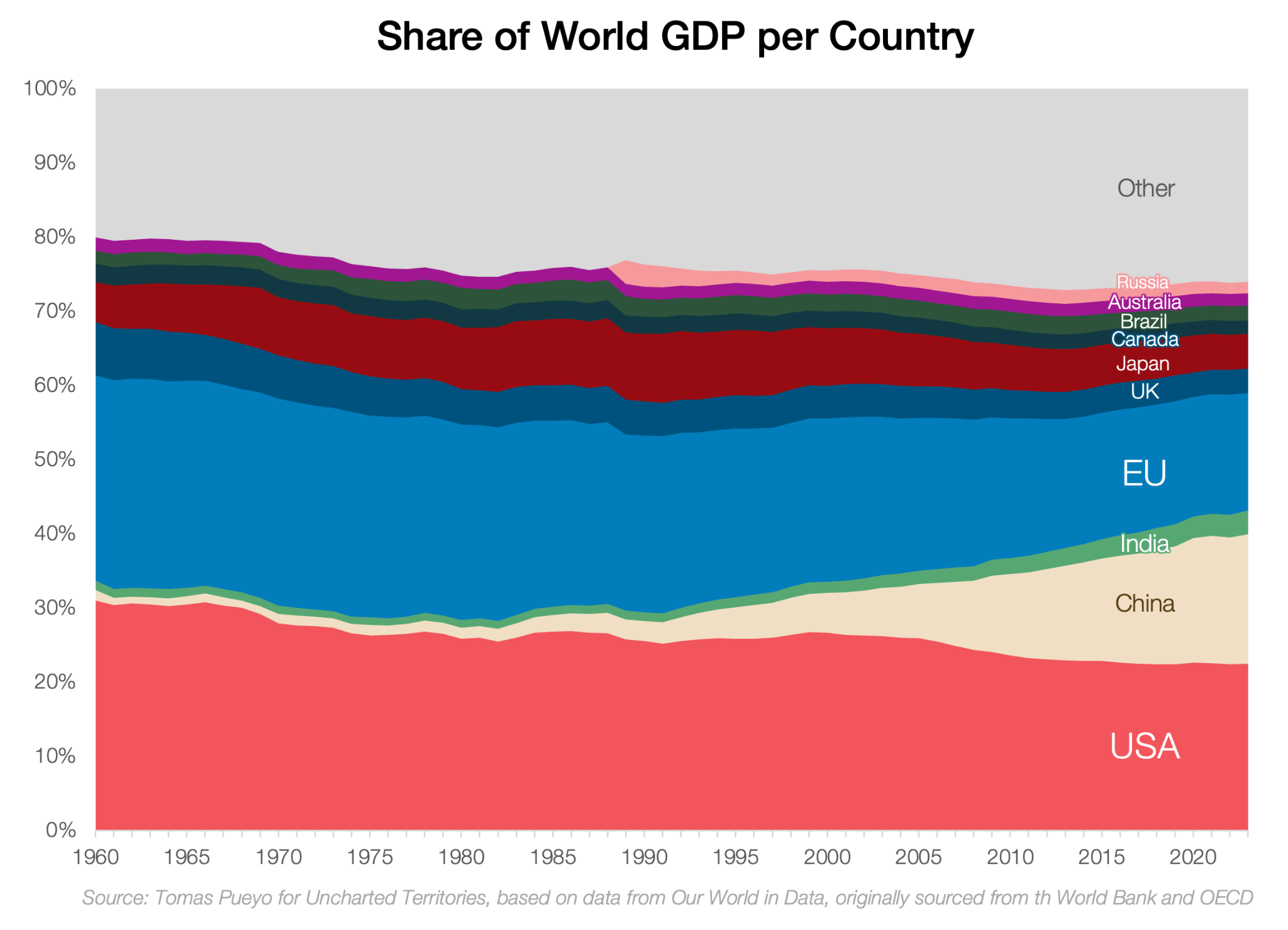
There are two reasons for this. First, the U.S. systematically attracted more immigrants than any other developed country. Second, its GDP per capita is the highest in the world among big countries. It surpassed all other empires sometime in the late 1800s:
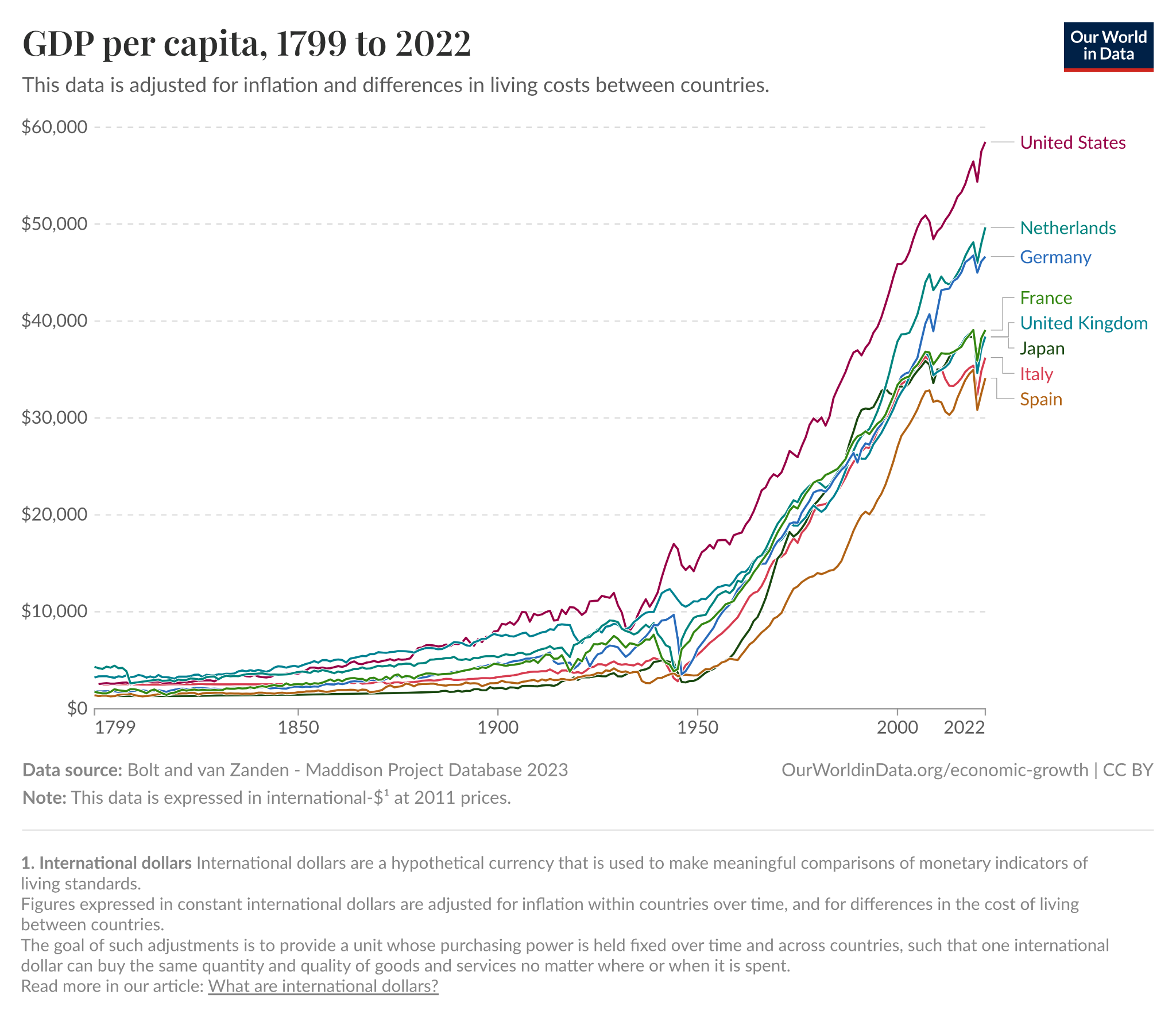
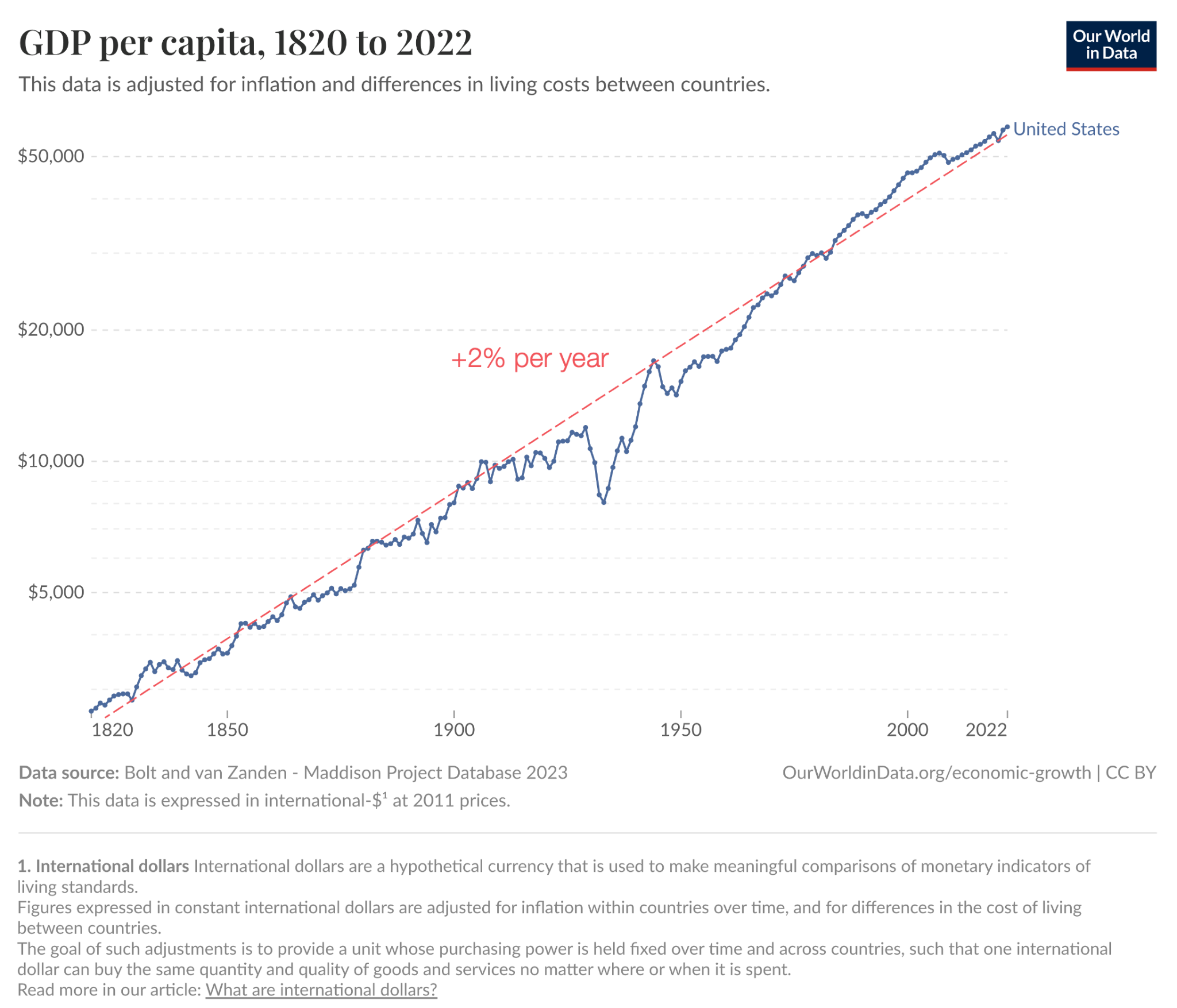
In fact, the U.S. has followed an uncanny trend of nearly two percent growth in per capita GDP for over two centuries:
Why are we so rich?
Some believe it’s the result of democracy, rule of law, the U.S. dollar, a strong military, an entrepreneurial culture… but what if these factors are threatened, as many believe they are now? Will the U.S. keep growing or fall due to mismanagement? Will China surpass it?
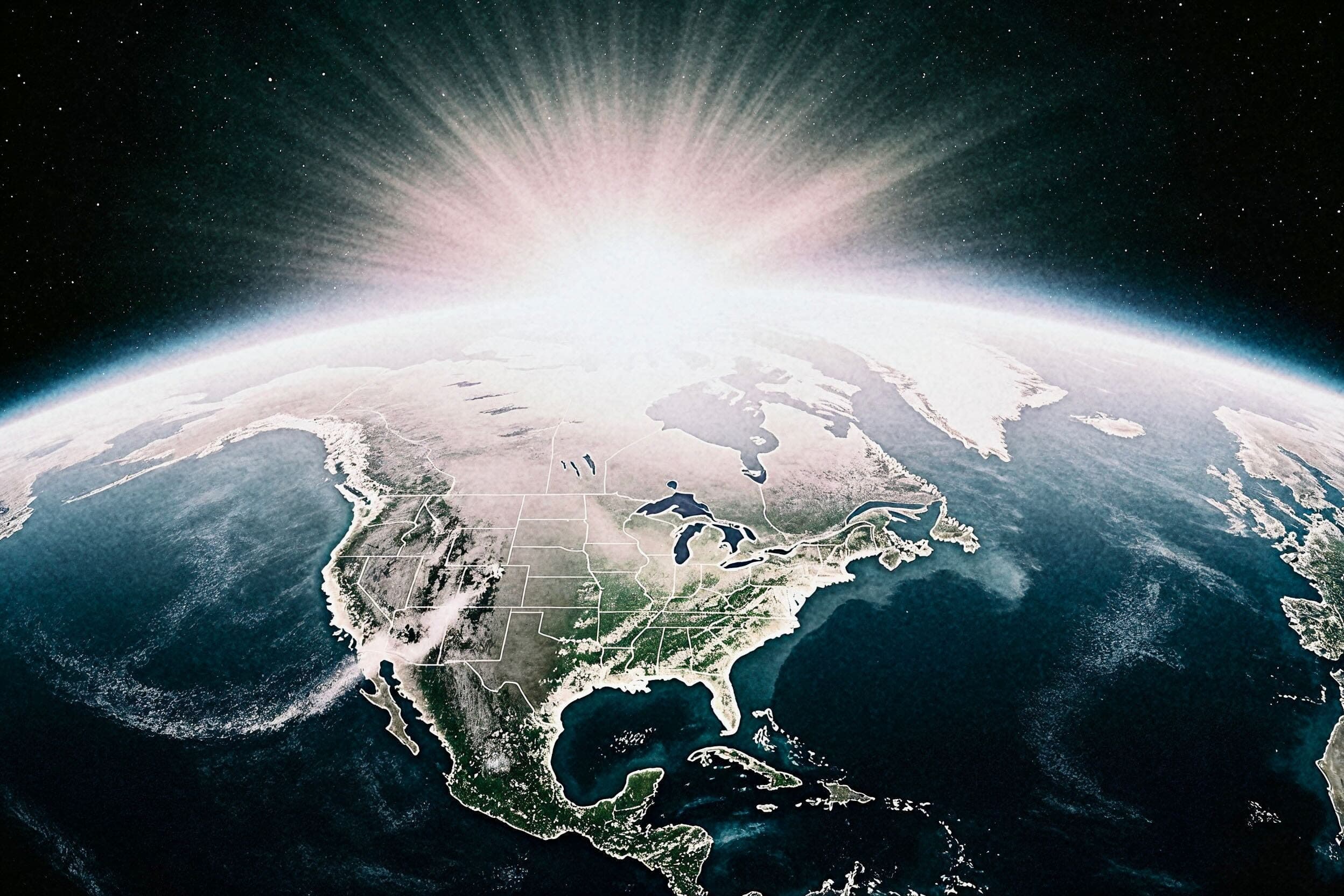
Fortunately for the U.S., it sits on the most advantaged piece of land in the world — and this is not changing anytime soon, so its power will likely keep growing.
Here’s why geography is the United States’ superpower.
a newly incorporated city on texas' southern tip could become america's portal to space — but we'll never get there under current regulations
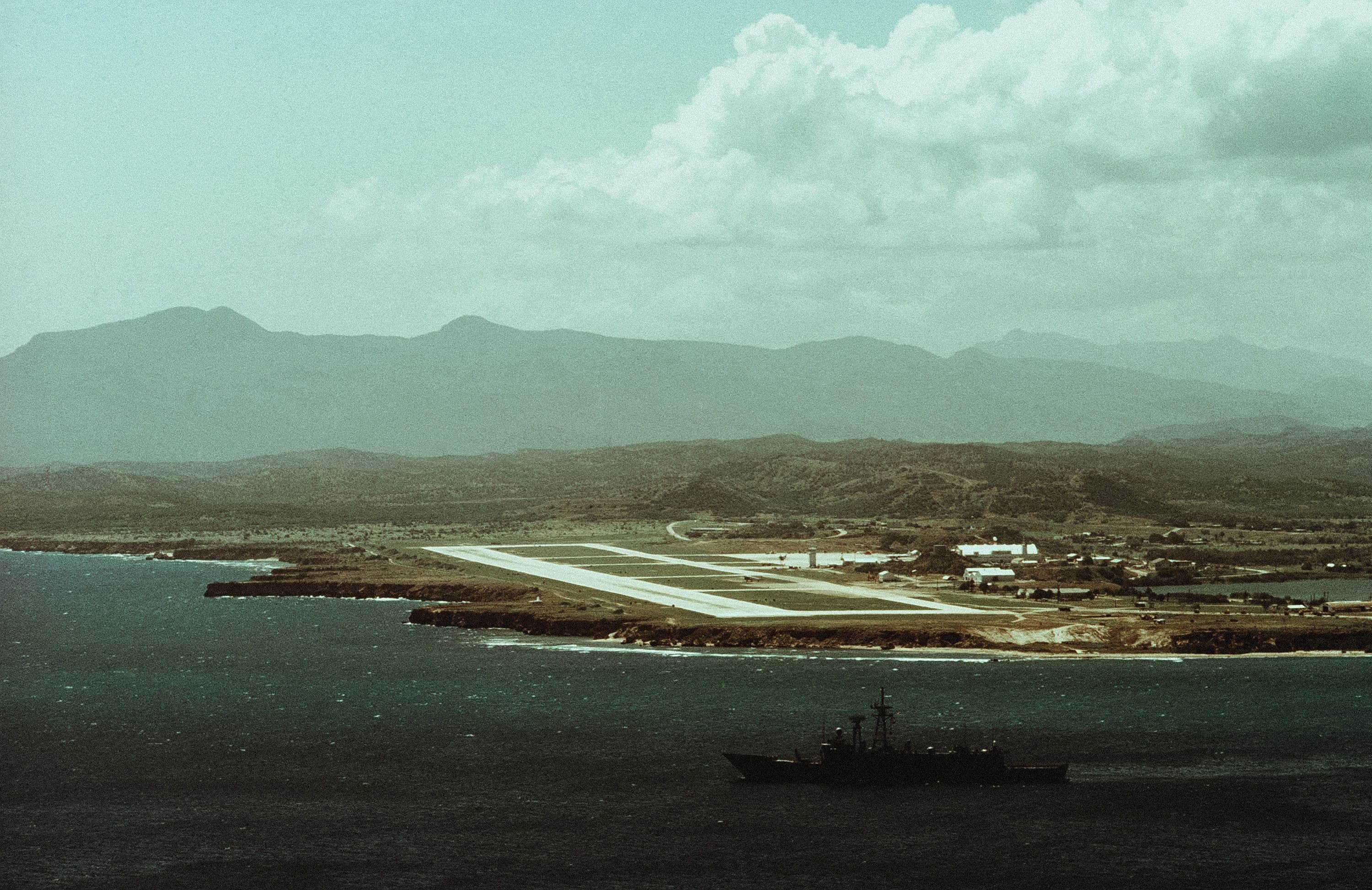
why the US should use its perpetual lease on guantanamo bay to turn it into a special economic zone
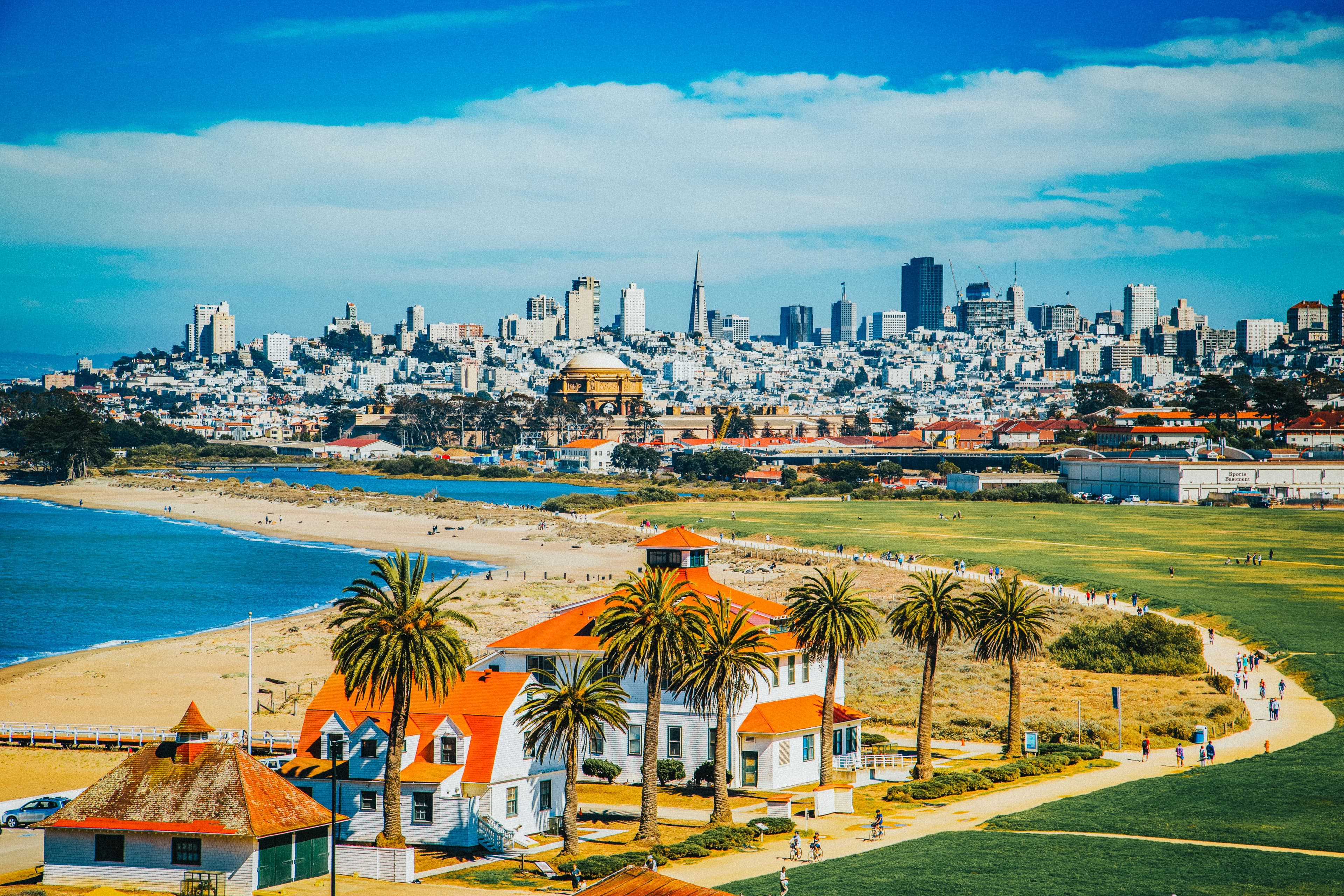
if we want to fix california's housing crisis, we need to accelerate development. build the presidio into a mini tokyo and then flood the salton sea.